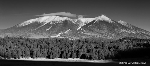
It’s been an interesting fall around here with regards to precipitation. The December statistics for Flagstaff are interesting. Up through 12/29/2014, there had been 2.75″ of water equivalent (both rain and melted snow). Normal for this period is 1.60″. Snowfall, on the other hand, has been mighty scarce. There had been a total of 4.9 inches this fall/winter; normal should be closer to 26 inches. What a difference!
But all that changed dramatically with the arrival of a strong and cold winter storm on New Year’s Eve day and continuing into the New Year’s Day. Snow levels fell to very low elevations with this storm and photographers were flocking to their favorite locations to capture amazing images of the desert with snow. Even Phantom Ranch, at the bottom of the Grand Canyon, received some snow from this storm.
An interesting aspect of this event was the cold front that pushed southward across the Great Basin and brought frigid air to southern Utah and northern Arizona just before the storm arrived. Then, when the precipitation began it fell into very cold air—and did not melt—resulting in snow accumulations around the very low elevations of Lake Powell and Page. This location is well known for being highly photogenic and the addition of snow makes it even better.
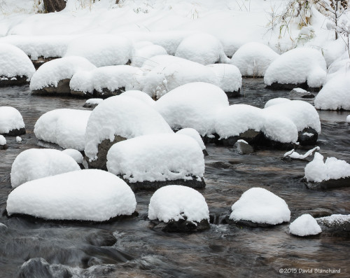
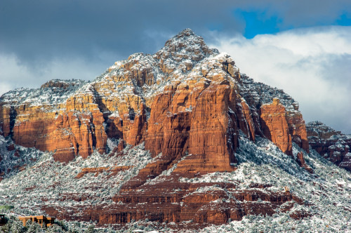
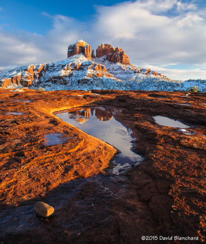
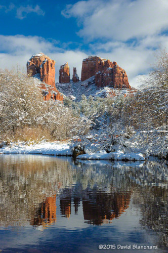
Closer to home, significant snow fell in Flagstaff (16-20 inches), Oak Creek Canyon, and Sedona. In fact, folks suggest this may have been the most snow from a single storm in several decades with 8-10 inches decorating the famous Red Rock Country.
And it was an amazing sight when the sun finally broke through the clouds.
