The summer thunderstorm season got off to a slightly early start this year with moisture flowing northward into northern Arizona in late June. A more typical start would be the first or second week of July. However, you won’t get complaints from most folks about the early start as it signals the end of wildfire season.

The highlight this early in the season is this rainbow seen from Yavapai Point on the South Rim of Grand Canyon National Park. The rainbow spans nearly 3/4 of a full circle and contains both primary and secondary bows. Rainbows typically are at least 50% hidden owing to the horizon. Only when the horizon is lower than the observer—e.g., from a mountaintop or over a canyon—will more than 50% be visible.
It would be an understatement to say that being in the right place at the right time can be very challenging. To improve my odds, I used some of the “Convection Allowing” weather forecast Models (CAMs). These models have much higher resolution than the operational forecast models and can, at times, show where individual thunderstorms may form. With this information, I decided there was a chance that thunderstorms would develop over the canyon late in the afternoon and move to the east just in time for sunset and, perhaps, a rainbow.
That worked out rather well.
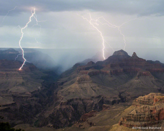
Capturing lightning also worked out well with photogenic strikes occurring on several days in Grand Canyon and Sedona, Arizona.


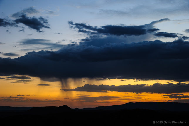
And, of course, the light that falls across the landscape during this time of year can be remarkable.


There’s some irony here. I spent part of June storm chasing across the High Plains and saw only a little bit of interesting weather. All I had to do was stay in Arizona and wait.
Absolutely beeyouTfull…! Blog isn’t too shabby, either – great call on tracking CAMs and looks/reads as if you truly enjoy living to see what surprises our uber-open & peaky-valley landscape has in store for us next?! Thank you so much for sharing : )
Thanks, Eve. I completely agree with you about our open vistas and landscapes.