The first portion of our trip was well planned. We had permits for backpacking in specific areas and dates. We were going to meet our friends at an agreed upon time and location. The rest of the trip? We didn’t have a plan at all. So where to go next? After tossing around several ideas we decided on the North Cascades in Washington. With a destination selected, it was time to head to the Cascades—but not by the shortest or most direct route. We would make an intermediate stop at the Columbia Gorge.
It ended up being a long drive from the eastern Sierra Nevada mountains to the Columbia Gorge because we chose to drive on secondary highways instead of Interstates. Slower, yes, but so much more interesting. The first day of driving took us from Bridgeport to just south of Tahoe—but it did include a few hours of hiking. The second day of driving—mostly on Highway 89—barely got us into Oregon by early evening and we ended up stopping in Ashland for the night. We discovered that there was a food co-op nearby and we went shopping for both travel food and dinner items. What a nice store! Lucky Ashlanders!
And, then, another day of driving up Interstate 5 and trying to go around the east side of Portland to miss the traffic. That didn’t work out well as the traffic was moving at a snail’s pace until we finally got onto I-80 eastbound—and finally onto Historic Columbia River Highway.
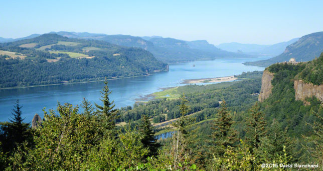
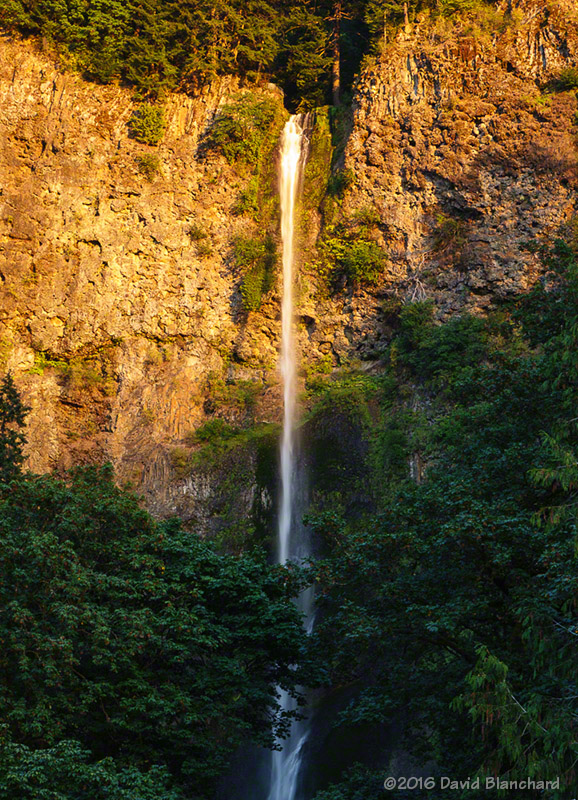
Oh, it was worth it. The waterfalls on the Oregon side of the Columbia Gorge are many and very beautiful. We arrived in late afternoon and stayed well into the evening. Watching the setting sun light up the upper portion of Multnomah Falls made it all worthwhile.
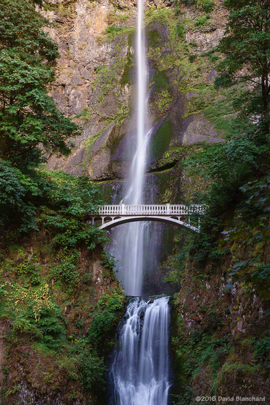
Here are some photos from the Columbia Gorge in Oregon.
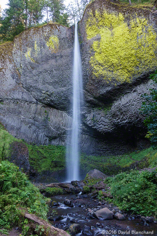
Compare the above modern digital image with a scanned Kodachrome slide of the falls I took back in 1985.
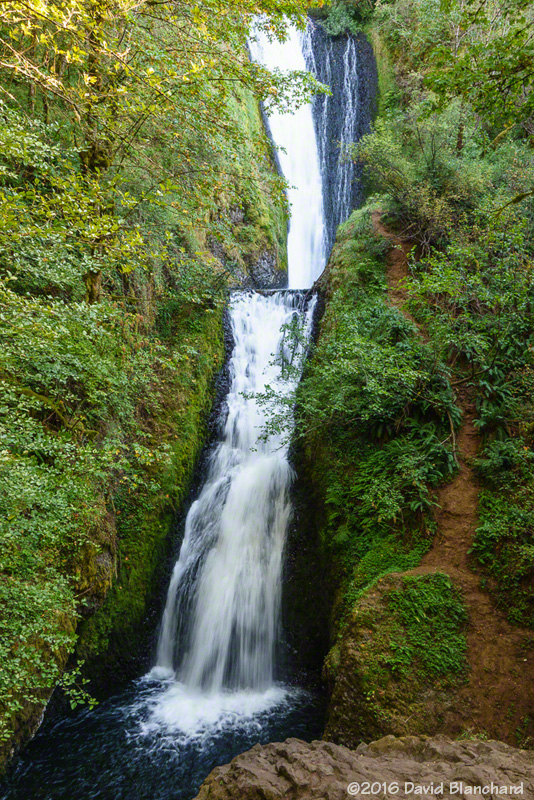
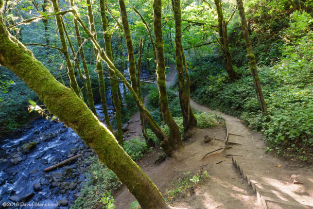

Darkness fell while we were at the falls and we headed east to Cascade Locks for the night.