My first visit to Death Valley National Park was in January 2014. At that time, I noted that “…I would like to return–soon–and visit many of the other wonderful locations in Death Valley National Park…” Well, it turned out “soon” was more than three years later but we finally made a return visit.
With the significant amount of rain that has occurred across the American Southwest this winter I was hopeful that there would be another wildflower “super bloom” comparable to that which occurred in 2016. But either we were too early or it just doesn’t happen two years in a row. So we were disappointed with the scarcity of wildflowers.

Still, it’s hard to be disappointed for long when visiting Death Valley National Park. So much to see—and usually not enough time to see it all. On this trip we visited a few of the sites that we saw in 2014 but we also visited places we had not been to before.
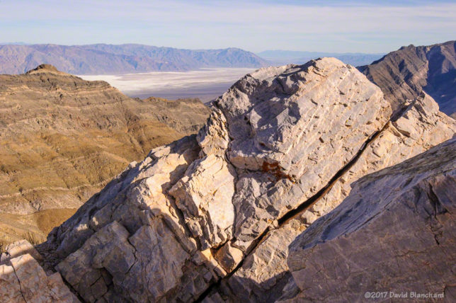
Our first stop as we entered the Park was Dante’s View. The view from this high point is expansive and includes the Panamint Range and the Badwater Basin regions—where the lowest elevation in the United States occurs (–282 feet; –86 m).
Our next destination was supposed to be Badwater Basin but we got sidetracked along the way and ended up at Desolation Canyon. We hiked here then continued on our way to Badwater Basin, arriving—barely—in time for sunset.
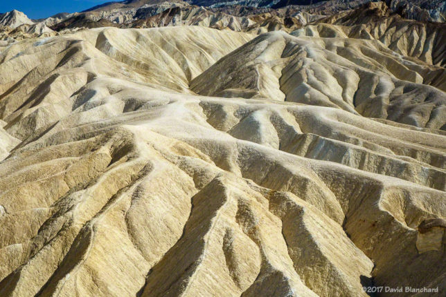
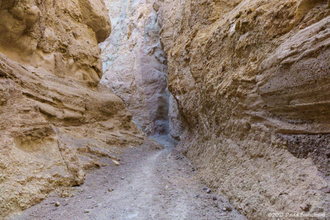
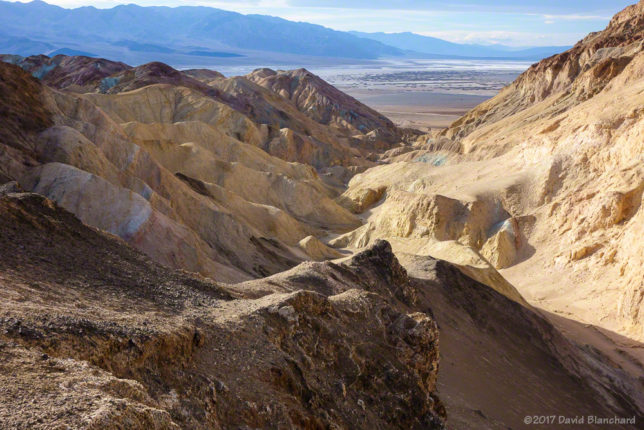
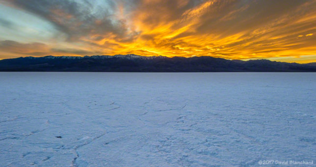
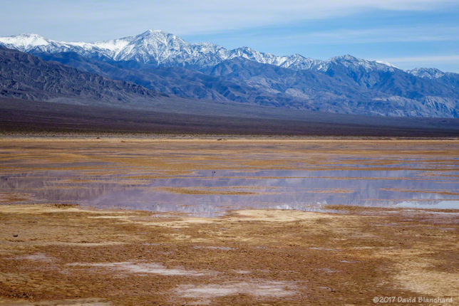
Because of the rains this winter Badwater Basin was wet and the famous polygonal shapes in the crust were not present. Instead, it was more like a giant basin of slushy salt. As the sun was setting, the wave clouds over the Panamint Range took on a variety of colors that made for interesting photographs.
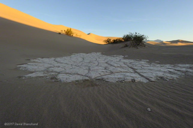
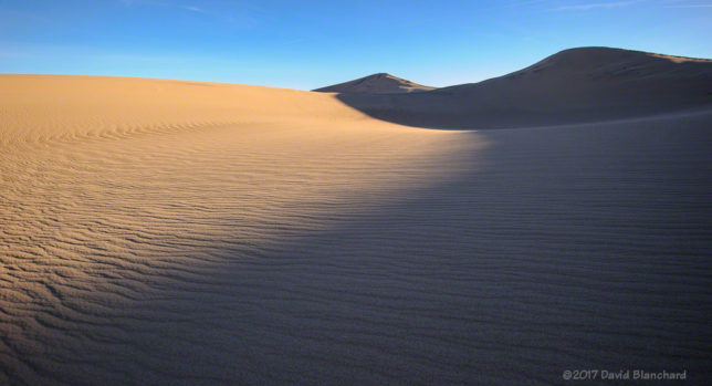
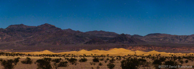
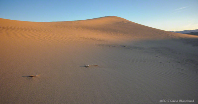
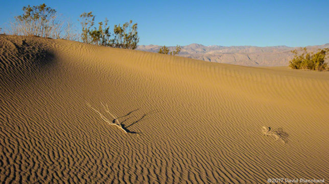
The following morning we made a trip to Mesquite Sand Dunes for sunrise. The rising sun and shapes of the dunes can make for amazing photographs—especially if you can find a place without footprints. The longer it has been since the last windy period the harder it is to find pristine sand. In some locations the polygon-cracked clay of an ancient lakebed forms the floor and makes for an interesting contrast with the dunes. Regardless of the conditions it’s hard to go wrong in this location.

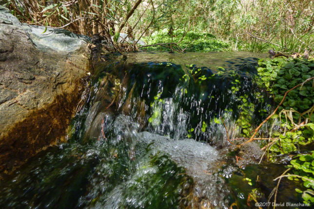
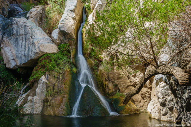
After a late breakfast we struck out for the west side of the park with a destination of Darwin Falls. It’s always amazing to see running water—and waterfalls—in a desert environment. We spent a long time in this lush and green environment.
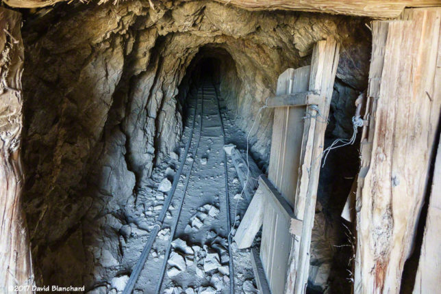
On the way back to Stovepipe Wells Village we found ourselves driving up Emigrant Canyon Road and out to the Eureka Mine and Aguereberry Point. The NPS guide says a high clearance vehicle is needed because of rock outcrops and a rocky section in the final 1/2 mile. I’m glad I didn’t read that in advance or I would never have bothered. It turns out the road is in great shape (March 2017) and any passenger vehicle can make the journey. I guess they must have done some recent road improvements. Lucky for us!
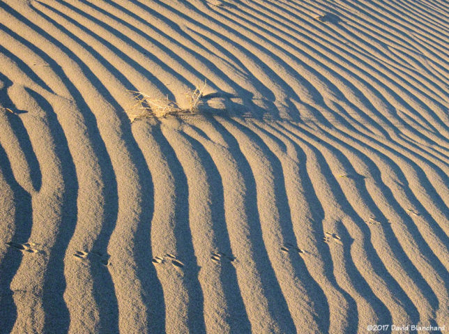
The next morning we attempted the sunrise over the sand dunes again. We had learned from yesterdays visit where we might find dunes without footprints–or, at least, not many footprints. Indeed, some of the most interesting footprints we did find were from the nocturnal animals that wander the dunes at night.
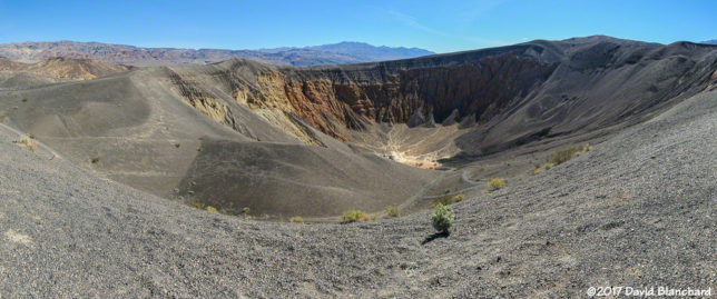
Later we traveled north towards Ubehebe Crater. Along the way, we crossed over Grapevine Canyon Wash which had a devastating flood in October 2015. As a result, the road up Grapevine Canyon as well as Scotty’s Castle remain closed until repairs can be made. The debris field that is still evident from the main road is very impressive. At the crater we were motivated to hike down into the crater itself. Even going down was tough because of the loose cinders. Going up? Yeah, that was work.
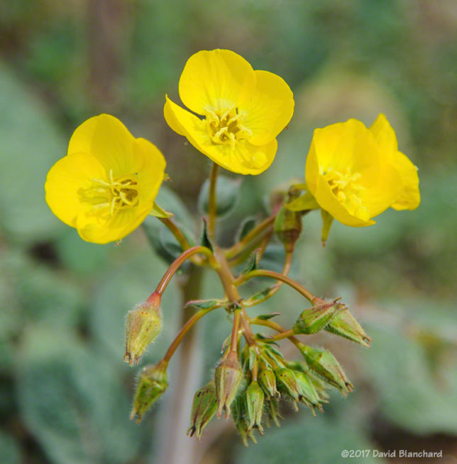
As we left the park via the road to Beatty, Nevada, we saw our second wildflower of the trip. Yep, two wildflowers in four days. Not much of a season yet. Hopefully it will get better.