Last week we had a cold front race across the state that was generating showers and a few thunderstorms along the leading edge of the frontal boundary. As this front passed through Flagstaff we had some thunder and lightning while it was snowing. Thundersnow is not uncommon around here and we typically see a couple occurrences each year.

The radar image clearly shows a leading line of strong convection with thunderstorms, followed by a transition zone of low reflectivity, and then a broad area of stratiform precipitation towards the west, or rear, of the system. This closely matches the “Leading convection–Trailing stratiform” model for mesoscale convective systems.
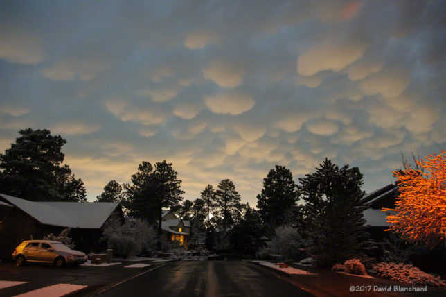
What was interesting was the mammatus that was present. This photograph was taken after the snowfall had ended (about 1.5″ fell on grassy areas) that clearly shows both the mammatus and the snow.

Mammatus and snow. Now that is uncommon.