By late morning it was evident that convection was going to be interesting. Updrafts were quite vigorous and there was pileus atop many updrafts.
I thought about photographing storms but got sidetracked. Then I heard the first Severe Thunderstorm Warning on NOAA Weather Radio. Less than an hour later a Tornado Warning was issued.
I looked at the radar data for the warned storm but was unable to see a clearly defined mesocyclone or tornado vortex signature (TVS). As it turns out, this was a non-supercell tornado (NST), sometimes called a landspout—and landspouts are often difficult to detect by radar.
This warning finally got my attention. A short while later, I headed out the door to see if any other storms would be as interesting as this one. I drove east towards some existing convection near and north of Winslow—stopping frequently to take photographs.
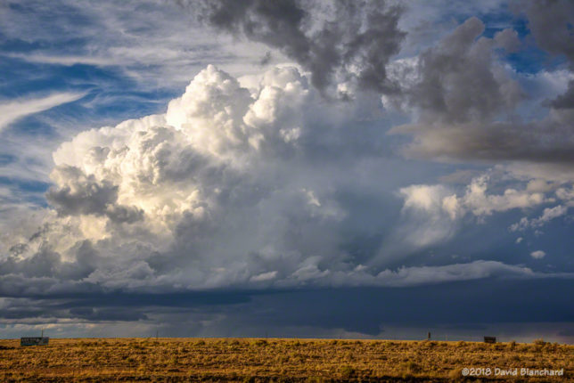
New storms then began to form back to the west and I set my sights on these. By this time, I had moved back west to the Two Guns exit on Interstate 40. Two Guns is now a ghost town and there are several old and interesting buildings in the area. I set up so that I could photograph both the old buildings and the storm. That worked out well.
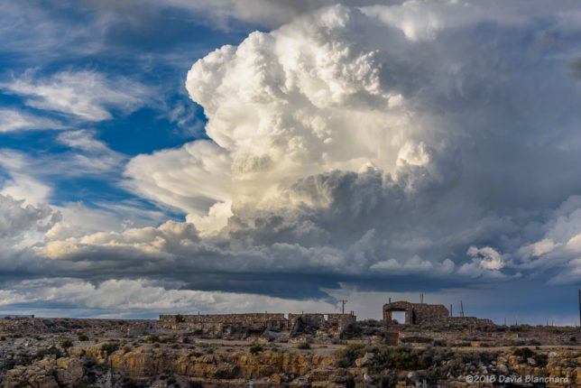
Then it was time to move to the north side of I-40 so I could get some photos without any buildings in the way. You know—just in case a tornado formed.
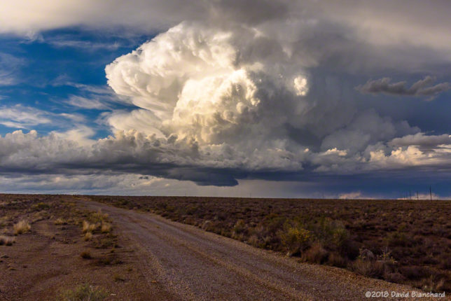
No tornadoes were observed although for a brief period the visual appearance and radar depiction suggested that the storm was developing supercell characteristics and had some rotation.
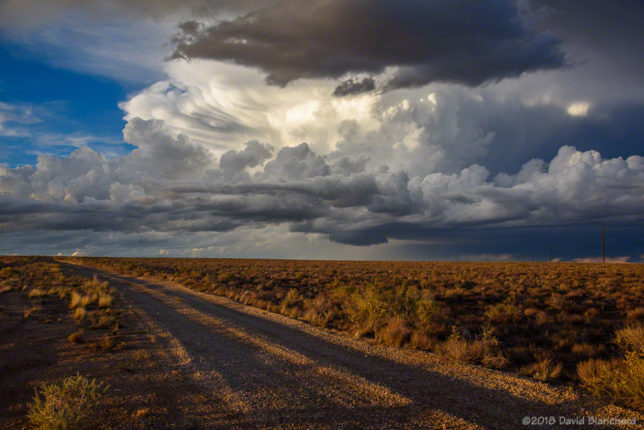
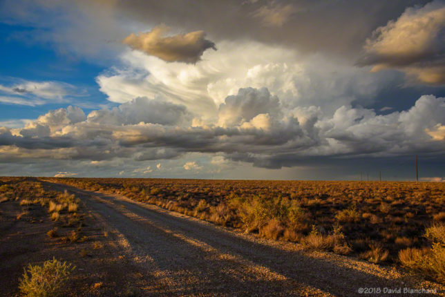
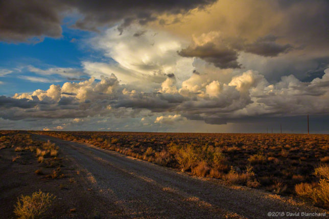

I shot both still images and video. Unfortunately, the dynamic range from the brilliantly lit updraft to the dark shadowy areas elsewhere was too much for the video and portions of the updraft were overexposed.
Still, the video shows some interesting evolution. Thirty minutes (1711–1741 MST) of raw video was compressed into ~18 seconds.