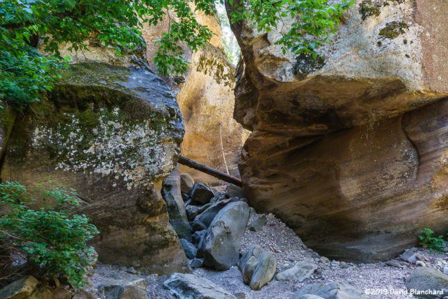
Most of the time when we hike West Fork Oak Creek we do it from the bottom up. Only once before have we done top-to-bottom and that was back in 1999. We were new to northern Arizona and had read Tyler Williams’ Canyoneering Arizona that this could be done in one very long, hard day. He was right about the long and hard. We have since referred to that epic day as our bootcamp hike.
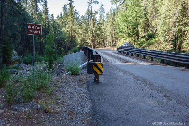
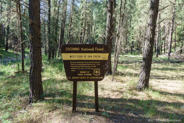
The passage of time can dim the memories of how hard and unpleasant things were. So here we were in 2019, twenty years later, and we wanted to do this hike again but with some modifications. We were not planning on hiking the entire length of the canyon. Instead, we would simply head down canyon and turn around when we had enough.

It didn’t take long to realize that even this would be a challenge. There is no maintained trail—and not even much of any hint of a trail at all. The vegetation was so thick we had to bushwhack our way through it. Remember that the Slide Fire in 2014 burned through this area (mostly low intensity) and this thick vegetation may be the result of the burn and regrowth. And there was lots of poison ivy. After the first few attempts to get around it we gave up and just plowed through it.
It took us about 2 1/2 hours to reach the first set of narrows about 3 miles down canyon. Just below the narrows is the confluence with Casner Cabin Draw—which ended up being our turnaround spot. We had some commitments that evening so we did not have unlimited time for exploration. Maybe that was a good thing!
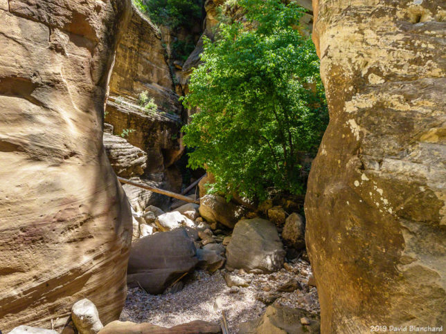
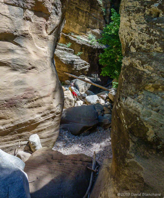
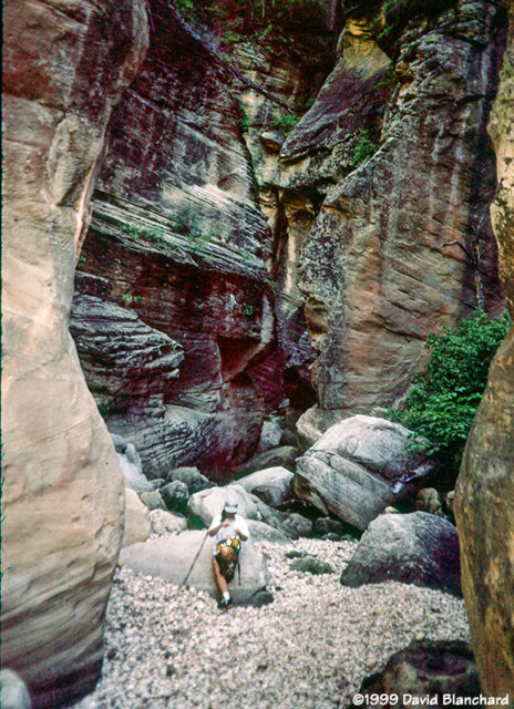
I had just been looking at some old photographs from that 1999 hike so I remembered a few locations and took new photographs in the same spots. The tree on the right has grown substantially in 20 years.
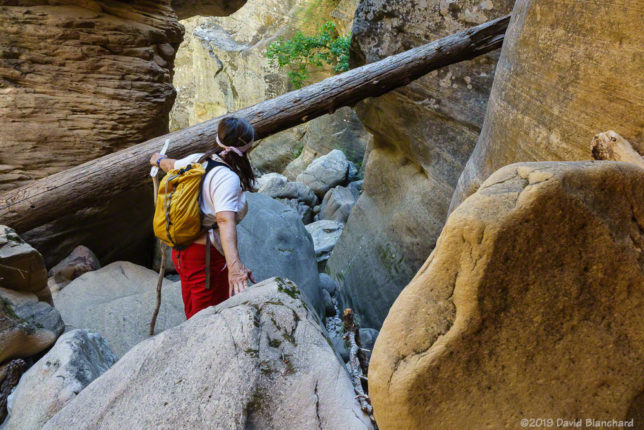
We did not encounter any water in the stream bed until the narrows and even then it was a small pool only a few inches deep and a few feet wide.
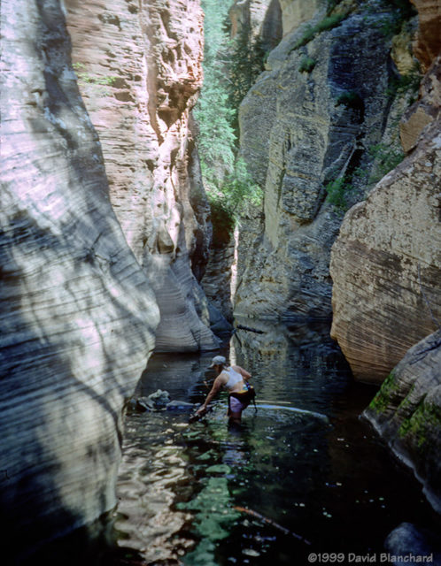
I’ve also included a photo (a scanned Kodachrome slide) from that 1999 hike showing one of the “must swim” cold pools of water.
We enjoyed the quiet and solitude of the upper canyon.