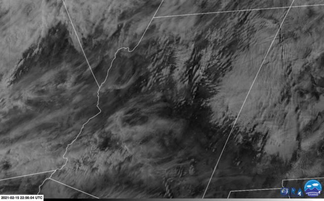
A few days ago there was a great example of trapped lee waves (also known as trapped mountain waves). These waves occur when the wind speed increases rapidly with height and the atmospheric stability decreases above a mountain-top or ridge-top stable layer. This results in a series of lee waves (and clouds) downstream of the mountain. This wind and stability situation is fairly common—especially in the winter.


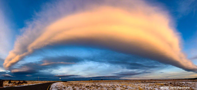
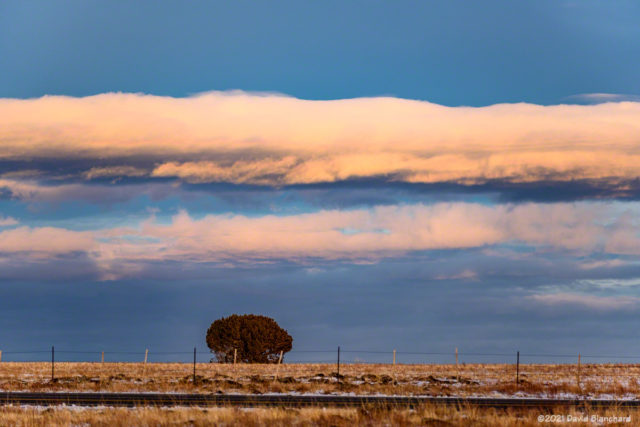
Towards sunset some higher-level Altocumulus Standing Lenticular (ACSL) clouds became more prominent and as the sun set became quite colorful. The image at the top of this post was taken a few minutes before sunset and is a panorama composed of five individual images taken with an ultra-wide 16 mm lens.