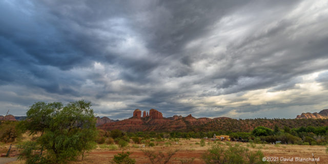
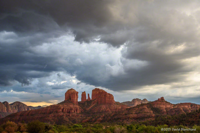
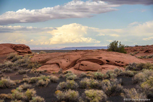
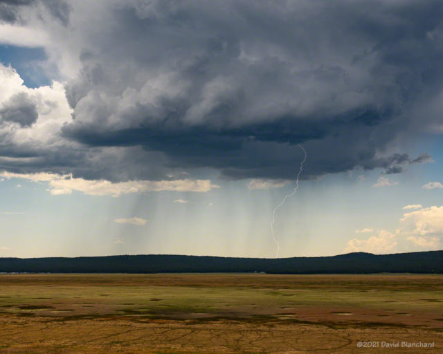
The North American Monsoon has been sputtering—for lack of a better term—the past week or two. We get a few days of storms followed by a hot and dry period. Finally, however, moisture is beginning to increase and we are seeing more storms. I have tried several times this year to get great photographs of storms and lightning but my success rate has been pretty low.
Here are a few photographs from the past week.


And, finally we have a time lapse of the same storm that produced the lightning above. The video is 200x real time; from the motion it can be seen that the storm has some slow rotation. This storm moved off the higher terrain and became severe as it neared the Camp Verde area.
The weather models have been consistent with forecasting a significant increase in storm activity next week.
Great photos and time lapse!
Thanks. Things have become quite active so more photos coming soon!