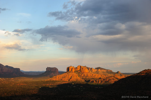
The North American Monsoon (NAM) is slowly developing across northern Mexico but has not yet spread northward into Arizona. Nonetheless, some tropical moisture moved northward across the state and produced some showers and thunderstorms. In fact, one thunderstorm produced almost 1/2 inch of rain on the southwest side of Flagstaff (including my house!) and the temperature dropped more than 25°F resulting in pleasant conditions.
These storms produced a cool outflow boundary that pushed southward off the Mogollon Rim and into the lower elevations. These outflows can result in new thunderstorms forming over Sedona—one of my favorite places for photographing storms and lightning. And so I headed to Sedona.
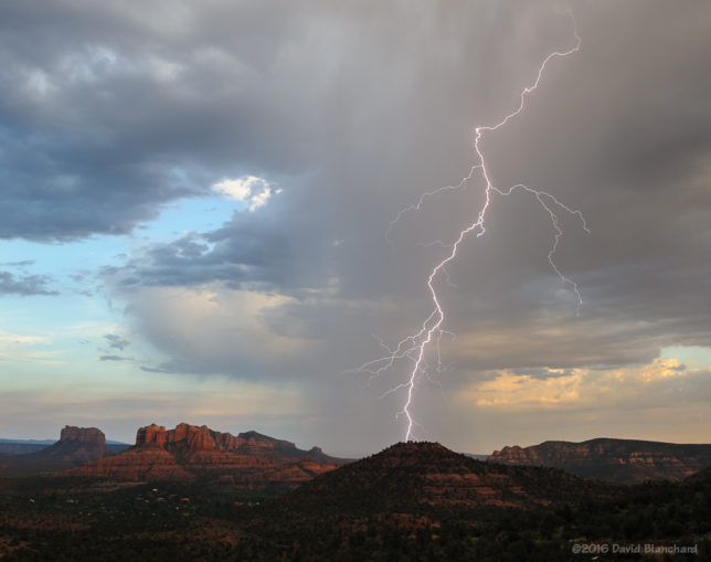
The outflow boundary was apparent as a line of shallow cumulus clouds roughly aligned east to west across the area. I selected a spot on Upper Red Rock Crossing Road to shoot towards Cathedral Rock and then waited for lightning.

It was a long wait.
From first test photo to first lighting was a little over an hour. I’m patient but I almost gave up.Then, suddenly, a flash across the sky. Missed it—because I was zoomed in too tight. A moment later—another flash and this one I got. And that was it. No more flashes.

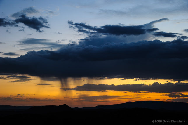
Time to move to another location and shoot twilight colors. I often find myself at the defunct Sedona Cultural Park because it has wide open vistas to the west (at least for now). I arrived as the sun was setting and everyone else was leaving. But the so-called “Blue Hour” can be the best time. If you take long exposures, you can get some really nice colors. I particularly liked this cloud because of the thin streamers of precipitation falling with twilight colors in the background.

A day later and the moisture has moved out of the area resulting in more typical hot, dry days with clear blue skies. Boring.