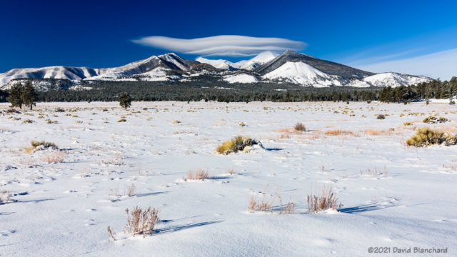
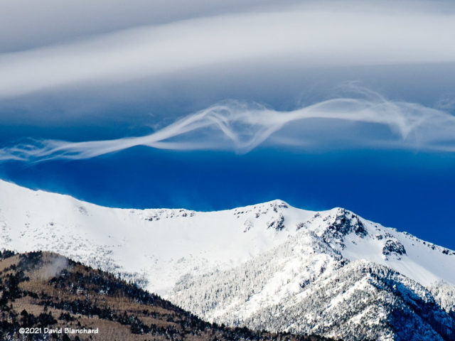
A few weeks ago I captured these images of wave clouds over the San Francisco Peaks. At first, there was a “short stack” of lenticular clouds, specifically Altocumulus Standing Lenticularis (ACSL).

I took several photographs looking toward the peaks from the Bonito Park area near the west entrance of Sunset Crater Volcano National Monument. I alternated between wide-angle shots showing the snow-covered flats and zoomed-in images of the stack of clouds. After a few minutes, I was ready to leave.


But before I did leave, new clouds began to form beneath the stack of ACSL. These clouds were quite different and appeared as long, wispy filaments or rope-like clouds. Again, I took photographs ranging from wide-angle shots to zoomed-in shots. After about 8–10 minutes the delicate filaments began to take on more of an ACSL shape similar to the already-present ACSL above.
I was intrigued by the shapes of these clouds so I posted a comment with photographs to a weather discussion group with many atmospheric scientists far more aware of the dynamics and details of wave clouds than I. It turned into a fascinating discussion with links to journal articles, modeling studies and, inevitably, YouTube.
I do not think we reached a consensus on the dynamics and evolution of these cloud filaments but all agreed it was a worthwhile discussion.