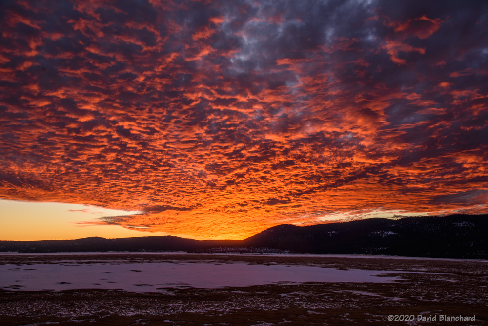
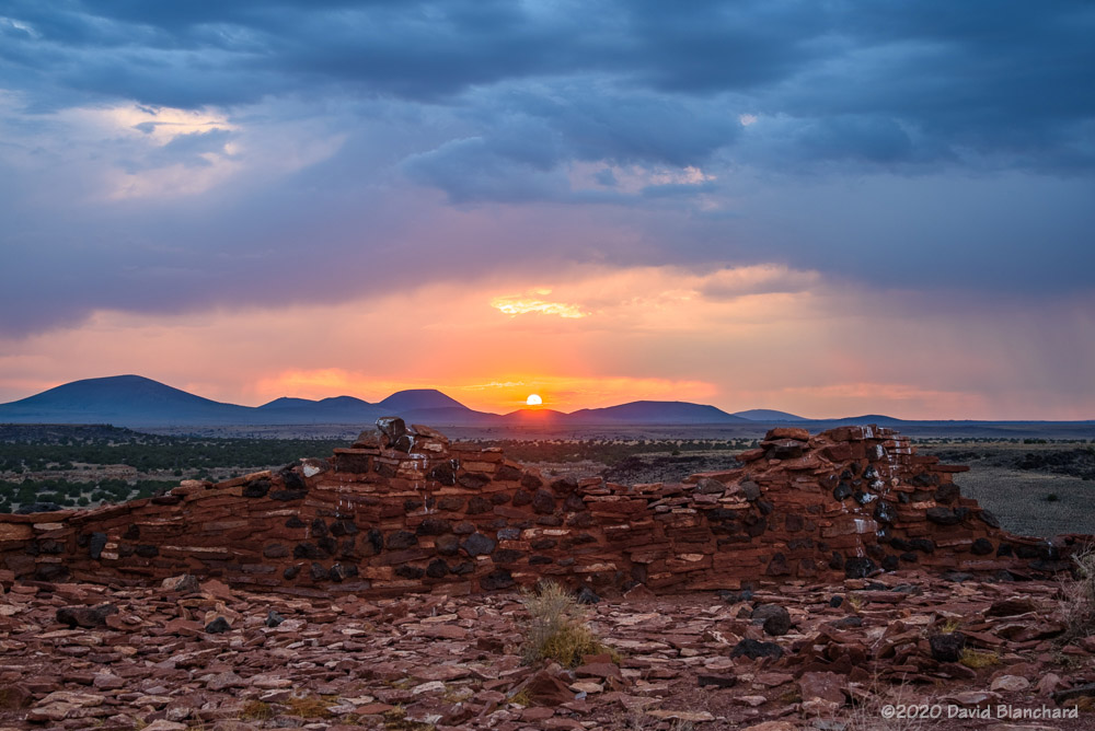
A weak winter storm brought small amounts of snow to northern Arizona earlier this week. Storms have been rare this autumn and winter so I was motivated to shoot some sunrise photographs.

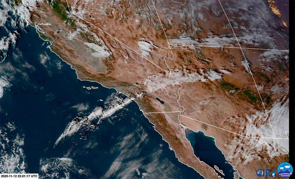
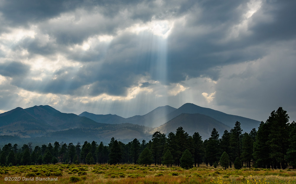
A look at satellite imagery early in the morning showed that clouds were still plentiful across a lot of the area except that there was a broad clearing to the east. This meant that the sun had a chance to shine on the peaks as it was rising.
And it did. For about eight minutes the sun illuminated the peaks and new snow. And then, as it rose higher, it was obscured by clouds and the morning light disappeared.
It was brief. It was cold (-9C, 16F). It was worth it.