For a few hours this morning (02 July 2020) the clouds were amazing. Laminar, wave-like clouds were visible across a portion of the sky and moving quickly to the north. Farther south, the sky remained clear. These clouds were apparently forming in a region of orographic uplift generated by the Mogollon Rim.
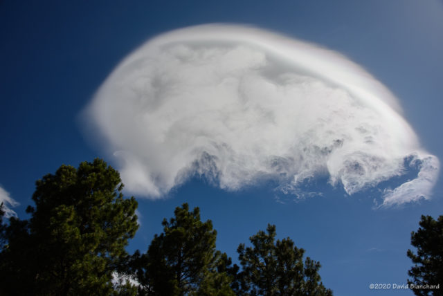


But these clouds weren’t actually a surprise. Yesterdays models were forecasting a thin layer of moisture around 700 mb with much drier conditions both above and below that level.
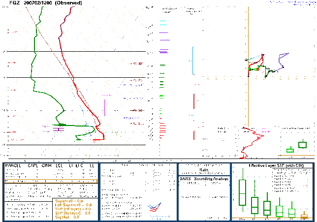
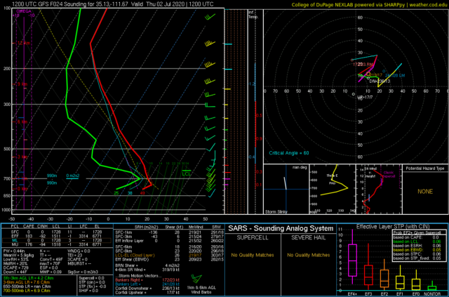
The GFS did a good job of forecasting both the thin layer of moisture and the stronger winds embedded in that layer. But where did those stronger winds and moisture originate?

A look back using backward trajectories from the HYSPLIT model reveals some interesting origins. Higher-level air parcels originated over the northeast Pacific while low-level parcels originated over the eastern Pacific. The water vapor satellite images shows both of these source regions to be very dry.
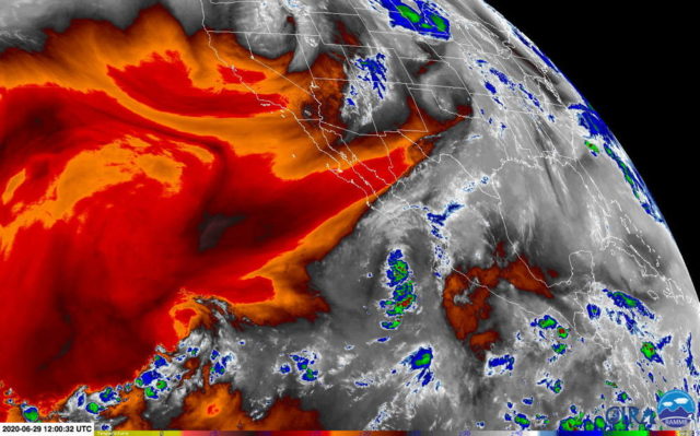
The moist layer had its origins along the Mexico coast. The water vapor image shows substantial moisture associated with Tropical Depression FOUR-E.
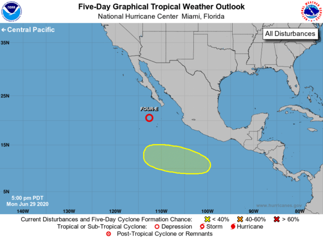
So the shallow mid-level moist layer had its origins in the remnants of a tropical disturbance. Very interesting!