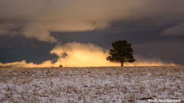
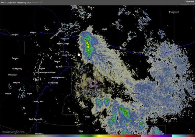
A few days ago we had an impressive snow squall that formed downwind of the San Francisco Peaks. Watching this evolve on radar was fascinating and I decided to drive to a location where I would have a good view to the east.


Clouds in the west were blocking most sunlight but there was a narrow gap that allowed the sun to brightly illuminate the low clouds and fog associated with this event.

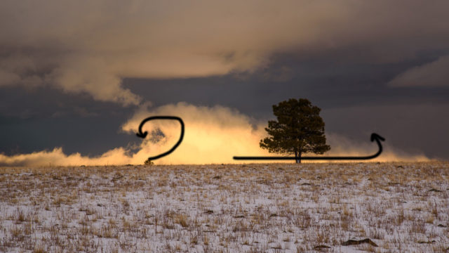
The radar image shows the precipitation from the snow squall while the large white dot is my location. The overall motion of the low cloud was to the south-southeast (left-to-right in the photograph)—however, the motion at the top of the low cloud was in the reverse direction (i.e., right-to-left) and there was some rotation along the cloudy/clear interface. This is fairly typical of a density current with cold air sliding under warmer air and shear/rotation being present at the interface.
Another fun day of cloud photography!