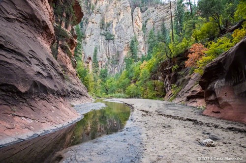
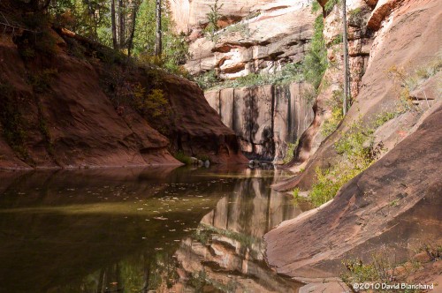
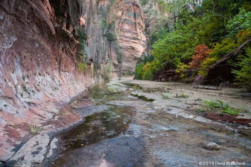
A Summer Hike up West Fork Oak Creek

In early July we invited some friends to join us for a hike up West Fork Oak Creek. This is a hike we used to do almost every year until the Slide Fire in 2014 . We made a short trip up the canyon when it reopened and were pleased that the canyon had not burned but saddened by all the silt and ash that had clogged the deep pools.
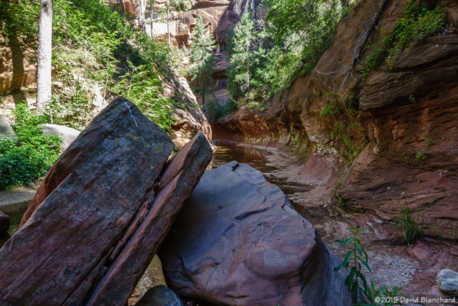
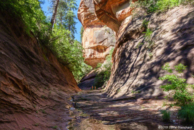
West Fork Oak Creek—First Narrows

Earlier this year we did our first hike up the canyon in many years. Our main interest was to learn if the heavy rains of this past winter had successfully flushed out the silt and ash from the 2014 Slide Fire. As reported in a previous article here, the heavy rains had done a fine job of returning the canyon to its former pristine condition.
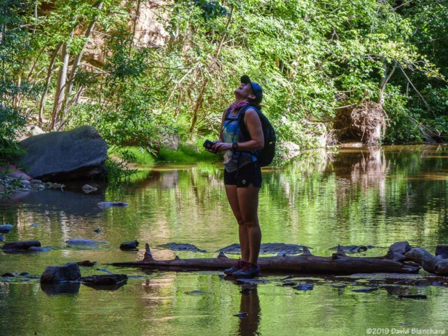
First time in West Fork!
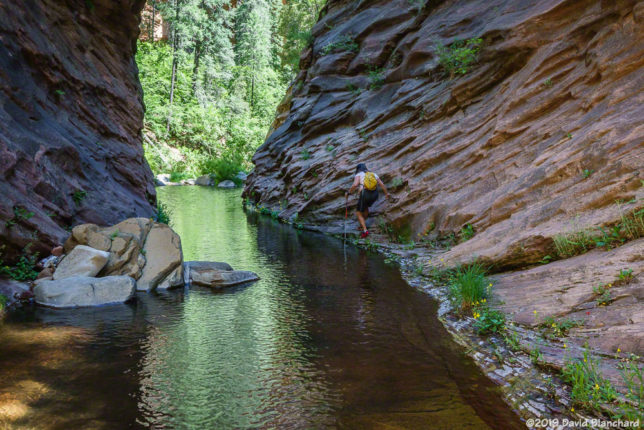
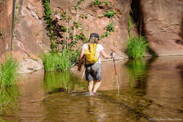
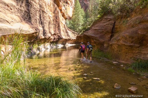
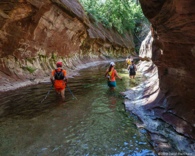
Wading through the water in the first narrows in West Fork.
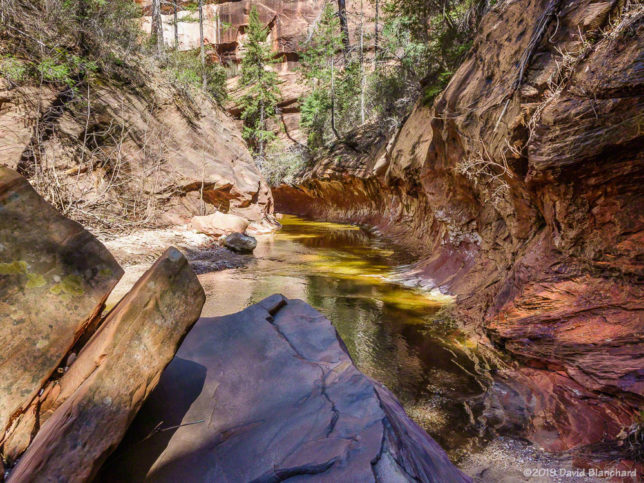
Above the first narrows in West Fork.
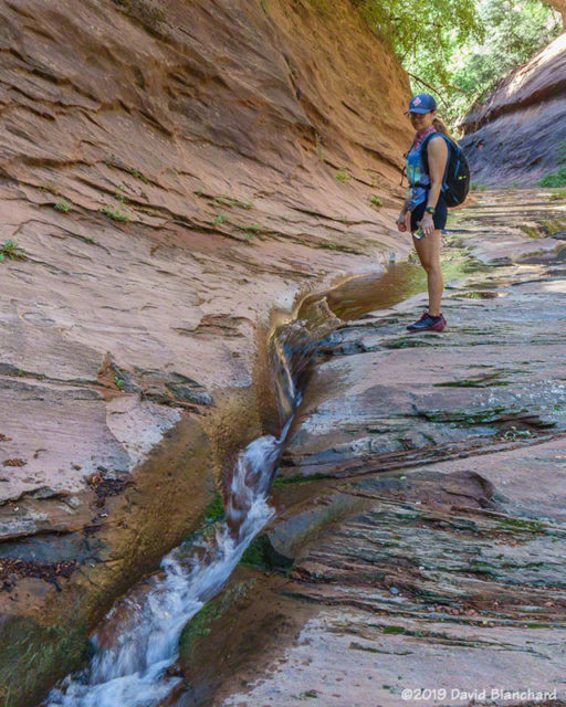
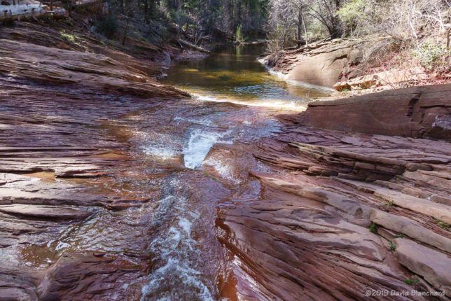
Water is channeled into this narrow and shallow slot in the canyon.
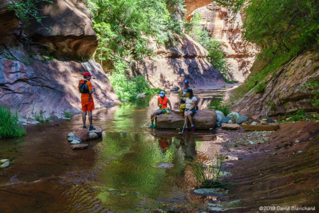
Enjoying a break in the cool shade above the narrows.

Now, with warm weather and sunny skies, it was time to hike as far up West Fork as time would permit. In the past, we have made it up and just beyond the “Camping Permitted” point which is around six miles up canyon. Years ago, we also did an end-to-end starting at Woody Mountain Road and hiking the entire length in a day. But since that “boot camp” day back in 1999, we have only hiked up from the bottom. This day was no different—except that we traveled farther up the canyon than any of our previous hikes. That’s a successful day. We spent about six hours hiking up and returned in about five hours.

Our friends were not able to commit as much time so they turned around after about 3.5 miles (i.e., after the “End of Trail” and just a bit beyond the first narrows).
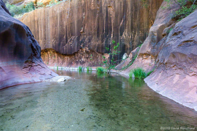
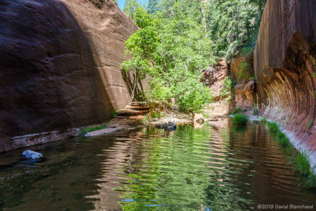
Another narrows section.
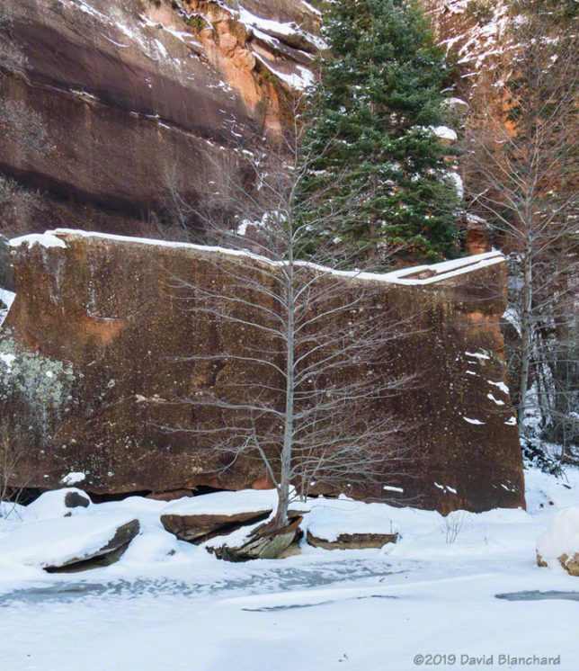
Tree and sandstone wall.

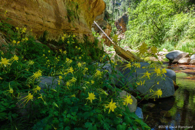
The wildflowers were great. There were masses of Monkshood and Monkey Flowers—so I was motivated to get a photograph of both “monks*” in one shot. Nope. Apparently, they prefer slightly different conditions and while they would sometimes be close, they were never clustered together. Columbines were also in great abundance. And there were a few flowers we could not immediately identify but could certainly enjoy.
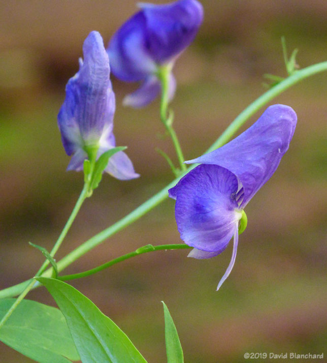
Monkshood wildflowers.
Columbines line the shore of West Fork Oak Creek.
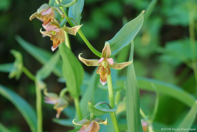
Stream orchid.
Stream orchid.

About a mile or so above the “camping permitted” sign we began to encounter thickets of brush from one side of the canyon to the other. These made forward travel very difficult. They also brought back memories of how challenging this section was back when we did the entire canyon. And, with that in mind, we declared that location to be our turn-around point.
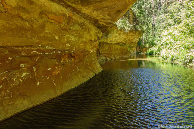
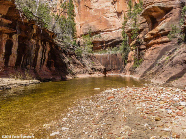
Deep pool with overhanging sandstone wave.
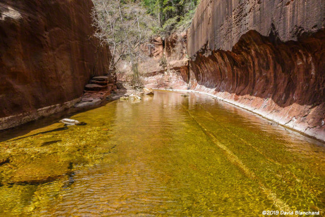
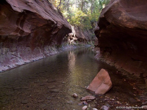
Reflection pool.
Reflection pool.
The crux move. If you slip, you swim.
Hiking through the narrows.
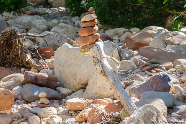
Cairn marking the trail.

What a fun (and tiring) day!
An Early Season Hike up West Fork of Oak Creek

It’s only the second week in April and that is still early in the season for hiking up West Fork of Oak Creek. There are numerous water crossings along the 3.3 mile maintained trail; these are usually easily crossed on stepping stones or small logs placed across the stream. Beyond the maintained trail, however, there are several water crossings that are simply too large for stones or logs and one must wade through the water. This early in the season the water is still chilly—and there was even some residual snow in the shadier parts of the canyon.

West Fork Oak Creek ("The Subway")
West Fork Oak Creek (“The Subway”)

We were especially interested in learning how the canyon had fared during the heavy rain events that occurred in January and February. Flagstaff, for example, received three times its normal precipitation (6.51 inches vs 2.16) in the month of February. And there were other periods of above normal flows in Oak Creek; e.g., mid January, early February, mid February, and an extended period in March that corresponded to snow melt at higher elevations.

USGS gauge data for Oak Creek showing several high flow periods this winter.

Our interest ties back to the Slide Fire that occurred in this area in May 2014. In the aftermath of the burn, heavy loads of silt and ash flowed from the higher elevations and into the canyon. This turned a beautiful canyon with deep pools in the sandstone into a ash-blackened, silt-filled creek. For those who have long cherished the beauty of this canyon the results of the fire were heartbreaking.

Silt and ash have been flushed from this swimming hole in West Fork Oak Creek.

But we knew that, in time, rain would scour out the ash and silt and return the canyon to its former pristine self. But normal rains were simply not enough to accomplish this. This would require sustained above-normal amounts of water. We traveled up the canyon in early January but, even then, most of the silt from 2014 was still there. But the heavy rains were about to start.

Another narrow section of West Fork Oak Creek that has been cleansed of silt and ash.
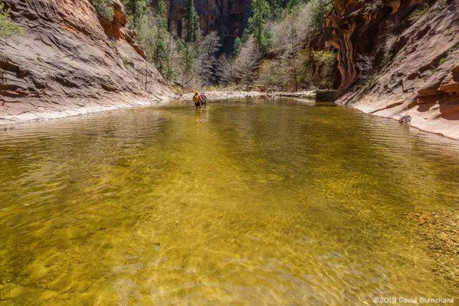
This large pool was filled with silt after the fire. Now it is finally clear again.

We were very happy to find that the heavy rains and runoff had finally cleared the canyon of silt and ash. Black, muddy shores and beaches were cleansed and replaced with deep, light-colored sand. Silt-laden pools were scoured out back to the sandstone bottoms and filled with beautifully clear water.

Large pool in West Fork Oak Creek.

The canyon had finally recovered from the aftermath of the Slide Fire.

New Years winter storm

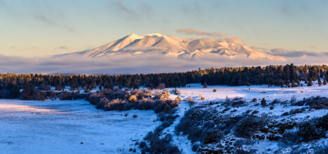
A band of clouds envelops the San Francisco Peaks.

A very cold storm system moved across the southwestern states on the last day of 2018 bringing snow to both the usual locations but in the lower elevations and the desert as well.

I awoke before dawn on New Years Day and was greeted with clear skies and a crescent Moon with the planets Venus and Jupiter shining brightly in the eastern sky. I drove out towards Mormon Lake anticipating great—albeit very cold—conditions for some sunrise snow photographs. On the way to the lake I encountered low clouds and patchy fog and there was nothing to be seen upon my arrival. It was already too close to sunrise to head back north or west so my only option was to wait and hope.

Clouds and fog clear away shortly after sunrise to reveal the San Francisco Peaks.

I missed the sunrise but about 20 to 30 minutes later the clouds cleared and the San Francisco Peaks were amazing. Low clouds and fog remained around the base of the peaks.

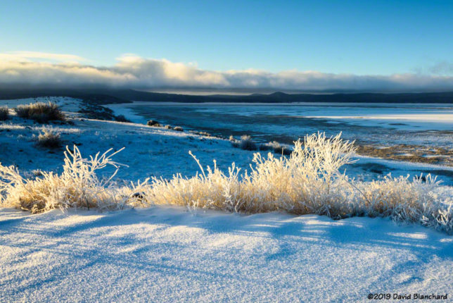
Rime ice glows in morning sunshine.

As the sun rose higher the side-lit rime ice on the wild grasses (i.e., weeds) at the Mormon Lake Overlook began to glisten and glow.

Temperatures were hovering in the low single digits and I was cold after standing around for about an hour. Time for breakfast and hot coffee.

The next day we hiked into West Fork Oak Creek knowing that the trail would be snow packed and there would be a dozen water crossings on ice—hopefully solid enough to support us. After several days of below freezing high temperatures and near or sub-zero overnight temperatures we were hopeful for safe ice.

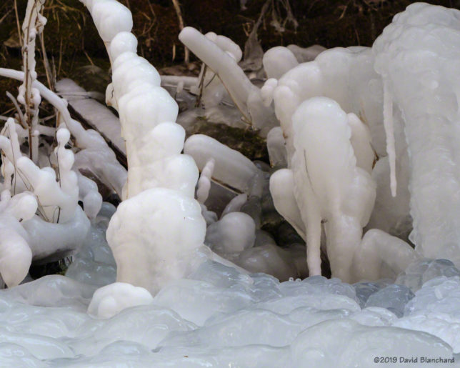
Natural ice sculptures in West Fork Oak Creek.
There are several locations where water drips down the cliffs even at these cold temperatures resulting in wonderful icicles and bizarre ice sculptures on the ground.
West Fork Oak Creek.

We hiked to the “end” of the trail where it enters a narrow, rock-walled section of canyon often called “The Subway.” This was our turnaround spot.

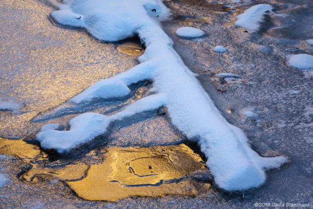
Sunlight reflected off canyon walls and then reflected again on the ice.
West Fork Oak Creek.

On the way up the canyon we had not run into any other hikers. What a treat!

Winter has arrived in West Fork Oak Creek Canyon

After a pair of back-to-back snow storms followed by sub-zero (°F) overnight temperatures we decided it was time to visit West Fork Oak Creek Canyon and see how the ice was developing.

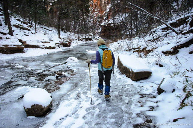
As anyone who has hiked in this canyon knows, the trail crosses the creek more than a dozen times before the end of the maintained trail. In the summer it’s a simple matter of either stepping on the stones or just walking in the water. Getting wet is not an option in the winter leaving the stepping stones or walking on the ice if it is safe.

Most of the crossings we encountered had a mixture of stones and thick ice and we had no trouble crossing the stream. For additional traction we were using our Kahtoola microspikes.

Icy walk along West Fork Oak Creek.

The very cold temperatures and patches of open water resulted in surface hoar (i.e., fern-like ice crystals directly deposited on snow, ice or already frozen surfaces) developing and creating some interesting textures.

Continue reading →

A visit to West Fork Oak Creek after the Slide Fire

The Slide Fire started on May 20, 2014, and was fully contained 16 days later. In the aftermath of the fire, Coconino National Forest closed much of Oak Creek Canyon for safety reasons. Four months later, on October 1, the restrictions were lifted and recreational activities resumed.

We wondered how much—or how little—of West Fork Oak Creek (WFOC) had burned. There had been some information during and just after the fire indicating that in the lower section of the canyon there was only light to moderate burn severity and only over a small percentage of the canyon. Farther up in the headwaters there had been widespread low intensity burns.

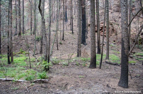
Typical burn scar seen in the lower reaches of West Fork.

So, finally, we hiked up WFOC to see for ourselves. The information was essentially correct and only small portions had burned and at low intensity. The canyon had survived. But there was still significant damage. Because of the burned areas farther up canyon, heavy rains this summer caused a lot of soil and ash to wash into the creek and flow downstream.

The creek channel was filled with silt and black ash. Where once the creek bottom had been smooth sandstone it now had several feet of silt and ash with deep channels carved through the silt.

This will slowly evolve back to its original state as winter rains and summer thunderstorms over the coming years flush out the silt and ash.

On a brighter note, we did see a late crop of ripening berries along the creek. Tasty!

A late season crop of ripening blackberries along West Fork.

One of the most significant changes occurred at the end of the West Fork Trail. The trail ends around 3.3 miles from the trail head where the canyon narrows and deep water is found from edge to edge. To travel farther upstream requires wading through water that is thigh deep in places. Most hikers turn back at this point; a few hardy hikers accept the challenge of water and no trail and continue upstream for many miles.

End of West Fork Trail in 2012 with water-filled channel.
End of West Fork Trail in 2008 with water-filled channel.
End of West Fork Trail in 2014 with silt-filled channel.

That has changed now as silt fills the slot canyon and a firm trail now exists where it once was only water.

Here are additional before and after images of West Fork Oak Creek.

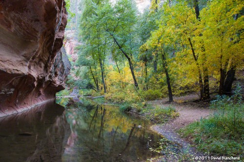
This is the first large pool most hikers see as they travel up West Fork Trail (2011).
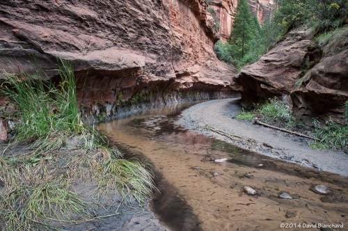
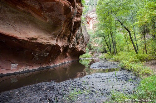
This is the same pool in 2014. Ash and mud line the banks.

Several miles up the canyon the walls of the canyon close in again and water is found from edge to edge.

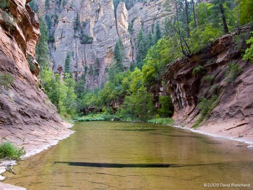
A wide and shallow pool stretches from wall to wall in this section of West Fork (2009).
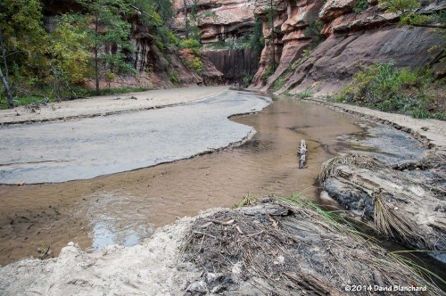
The same section is now filled with silt and ash with a narrow channel carved in the debris.
This is the same pool as above but viewed from downstream (2010).
The once-sparkling pool of water is now filled with silt and ash (2014).

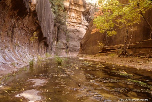
Just upstream and around the corner from this pool likes another narrow portion of the canyon with this large and smooth sandstone wall with trees. The sandstone floor of the creek bed has been filled with silt but the trees remain safe above the water and silt.

Narrow "slot canyon" with trees (2004).
Narrow “slot canyon” with trees (2004).
Silt and ash now cover the creek bed (2014).

Fire is an essential part of the ecosystem in northern Arizona and the Slide Fire may have done more good than harm since much of the burn severity was low or moderate. The fire removed a lot of fuels on the forest floor and have provided nutrients for the future of the forest. In the short term the silt and ash have filled many pools and covered the sandstone floor of the creek bed but these are not long-term harms. In time, the canyon will return to what it was before.